Questo articolo è disponibile anche in:
![]() Français
Français ![]() Deutsch
Deutsch ![]() Español
Español ![]() Italiano
Italiano
Situated along the road Siena-Grosseto, a few km north of Grosseto, the hill of Roselle contains the most important Etruscan – Roman remains of Tuscany. The river Ombrone characterized the hydro-morphology of this area, in ancient times the rivers were the fundamental lines of communication, and the Ombrone probably was at the time navigable for a long stretch. In the past also the plain where now there is Grosseto did not exist and in its place was an arm of the sea that slowly was forming a lake, the Lake Pile. The existence of the lagoon influenced positively the cities that, in the Etruscan period, looked out on the lake: Roselle and Vetulonia.
THE ETRUSCANS
Roselle was in a favorable geographical position: on the south side was the lake Prile – which was the gateway to the sea and coastal cities – while the river Ombrone was the gateway to the Val d’Orcia and the cities of internal Etruria. The oldest traces involving the territory of Roselle come to prehistory, but the development of the settlement came from the first half of the seventh century BC. Among the literary sources about Roselle, one can cite Dionysius of Halicarnassus, which hints at Roselle with Chiusi, Arezzo and Volterra, which gave support to the Latins against Tarquinio Prisco at the end of the seventh century BC. This seems to imply that Roselle was a city of primary importance in that period.
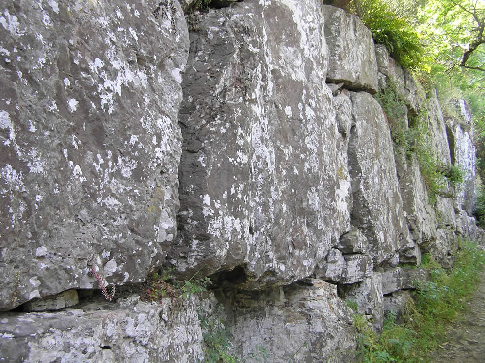
Even archaeological evidence seem to prove this: the oldest remains of Roselle dating from the seventh century BC. During the sixth century BC, the city had a great development: the second ring of the city walls, was built in this period, they surrounds both the hills and are still largely visible. At that time, the town consisted of buildings in clay, terracotta and stone walls. The two hills and the intermediate valley were largely urbanized: private buildings were on the hill to the north, while commercial activities were concentrated on the hill to the south.
[divider]
[divider]
THE ROMAN CONQUEST
Continuity in the life of the settlement is well documented during the classical and Hellenistic age. The Roman conquest – occurred in 294 BC by the consul Lucius Postumius Megellus – is mentioned by Livio. The archaeological findings give little about this period. A layer of destruction by fire – datable to the first decades of the first century BC – suggests that Roselle was involved in the destruction wrought by Silla, along with other Etruscan cities (Talamone, Vetulonia, Populonia, Volterra and Fiesole).
With the Lex Milia and the Lex Plautia-Papiria, the residents of Roselle, became Roman citizens. The main instrument, which the Romans used to Romanize conquered territories was the colonization, it was intended to achieve two main goals. Control the conquered territory and repel external attacks. South of Roselle, the Roman colony of Cosa is an example of how the colonization interested, in addition to the city, even the surrounding area, with the construction of infrastructure such as bridges, roads, ports.
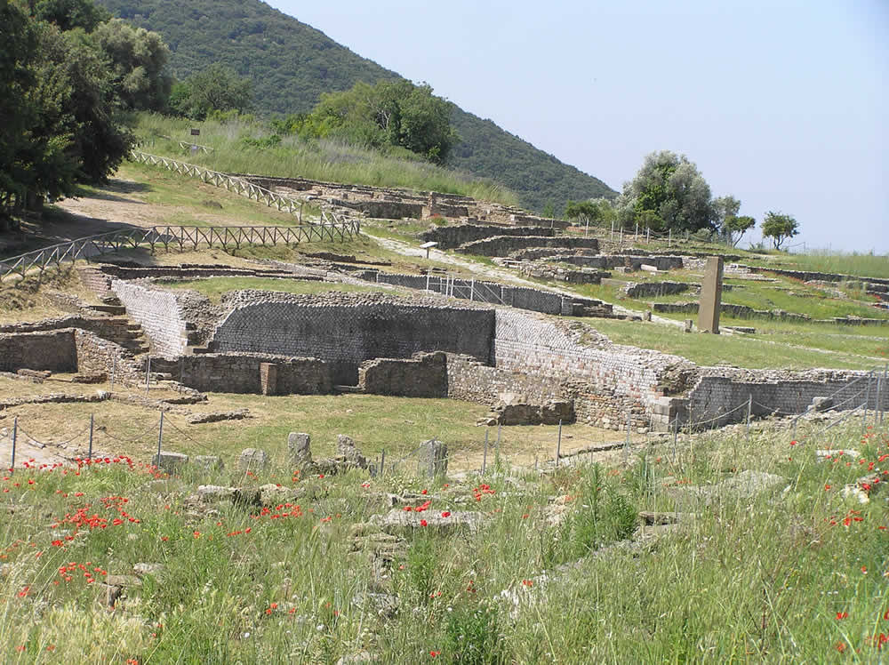
On the contrary, the conquest of Roselle not required the colonization of the territory, vast areas of the territory, were left free from human intervention. Only during the Roman imperial period (about three centuries after the conquest) Roselle was affected by intense construction activity. At that time was given to the city the title of the colony, as proof the inscription: Pub(lica) Col(onia) Rus(ellana) stamped on the pipes water placed in the city center. The main monuments of Roselle are so of the imperial period: the amphitheater, the monumental forum, the basilica dei Bassi and the thermae.
THE MIDDLE AGES
Roselle also suffered in the late imperial period, the decadence common to all the cities of the empire. In the fifth century AD. Roselle was episcopal seat and had a large diocese. Between the end of the sixth century and the beginning of the seventh century the city was conquered by the Lombards. In 787 Charlemagne gave the territories of Populonia, Roselle and Sovana to Pope Adrian. But the actual papal control was limited only to Sovana, while Roselle was still controlled by the Holy Roman Empire through to the episcopate loyal to Lucca.
In 862 Roselle was ceded by the bishop of Lucca – belonging to the family of Aldobrandeschi – to his brother, from here on the history of Roselle was linked to that of the Aldobrandeschi family. However, in the medieval age Roselle was only a small village and did not occupy the whole area of the Roman city. In 1138 Pope Innocent XI (1130-43) ratified the transfer of the diocese from Roselle to Grosseto. After this date, Roselle was gradually abandoned.
ARCHAEOLOGICAL EXCAVATION OF ROSELLE
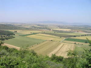
The Etruscan and then Roman city is located on a hill about 150 m above the plain of Grosseto: once the city overlooking Lake Prile, the ancient seaway that occupied the plain of Grosseto, the lake in later times becoming first a swamp and was later (in late ‘700) cleared. Roselle is one of the best preserved Roman-Etruscan city in Tuscany, the city was part of Etruscan dodecapolis, and was only finally abandoned in 1138 when the bishop’s seat was moved to Grosseto.
Founded in the seventh century BC, Roselle was a coastal city on the ancient lake Prile, important for fishing and trade with the Etruscan cities of the interior. Roselle developed mainly since the sixth century BC, its development was probably at the expense of neighboring lucumonie particularly Vetulonia, until then the most important Etruscan town of the Maremma, situated on the hills behind the opposite shore of Lake Prile. In 294 BC was conquered by Rome at the hands of the consul L. Postumius Megello.
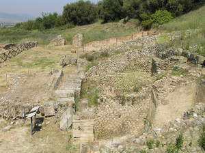
During the Roman rule the city was enlarged and embellished with spa, villas and an amphitheater among the best preserved of the area. Under the Empire Roselle became a Roman municipality (after 89 BC) and then a Roman colony. In this period were built the most important monuments such as the Forum and the Basilica, a system of collection of rainwater and a thermal building.
ROMAN ROAD
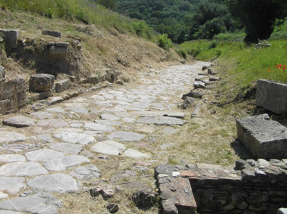
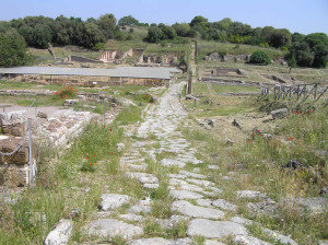
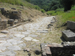
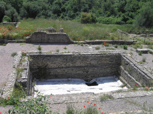
Before arriving at the parking of the archaeological area, along the access road, are visible the remains of a small Etruscan necropolis with some tombs. Entered the enclosure of the archaeological site should continue uphill along the main road leading to the city, this is a fine stretch of paved Roman road that leads to the area of the Forum along the road is an ancient Roman basin.
FORUM
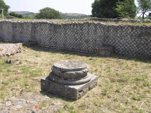
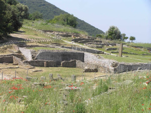
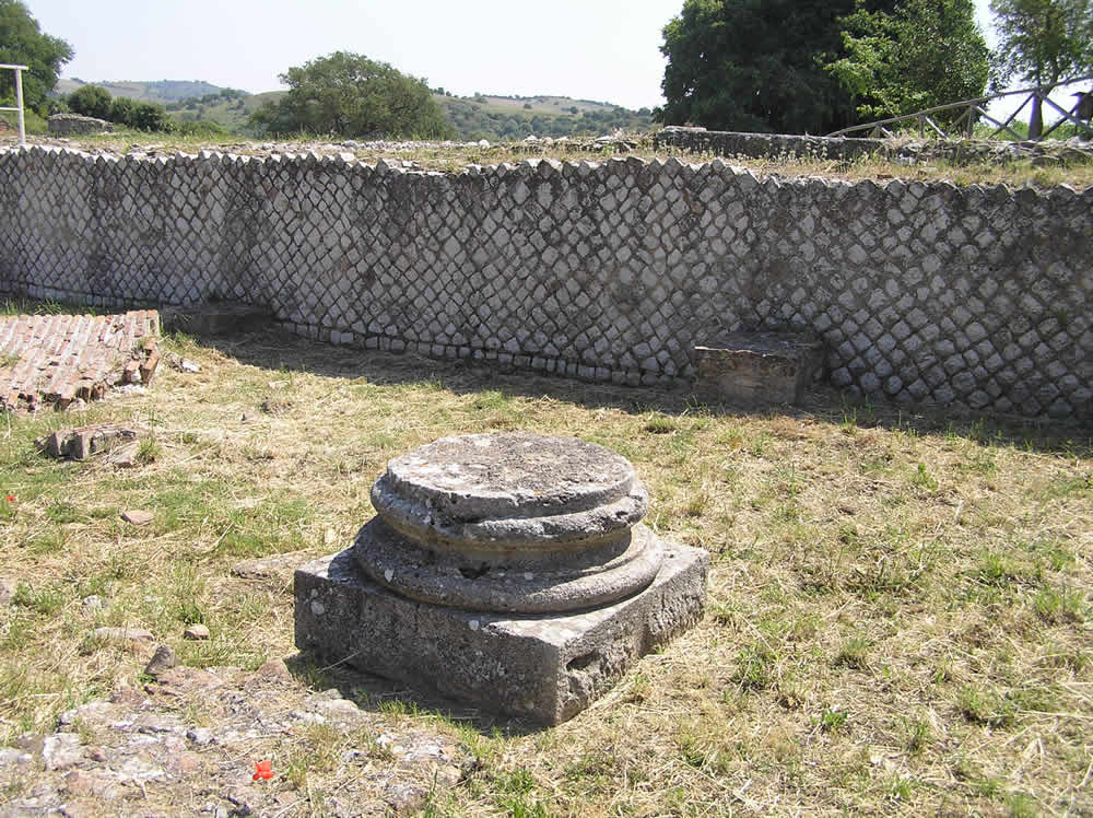
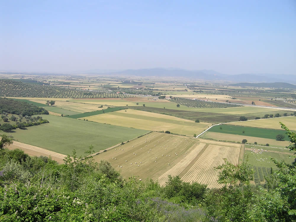
At the end of the road on the left side are the walls that surround the civil basilica, a rectangular building in opus reticulatum and opus vittatum with an inner columnade of which today remain only the base of a column. The Forum, located on a artificial filled, was built at the time of Augustus, but had a subsequent arrangement with paving slabs of travertine in the first century AD, the eastern side is bordered by the Cardo Maximus, while on the western side the square scenically overlooking the plain of Grosseto (in the past overlooked the lake Prile).
From the Forum should first visit the southern part of the city where was the center of Flamines Augustales, that was the place of the imperial cult and was constituted from a rectangular area with walls covered of marmoree slabs and niches that accommodated statues of the dynasty Julio-Claudia, here in fact were recovered the statues and the inscriptions currently conserved in the Archaeological Museum of Grosseto.
CARDO MAXIMUS
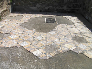
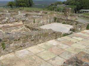
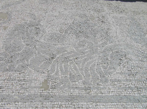
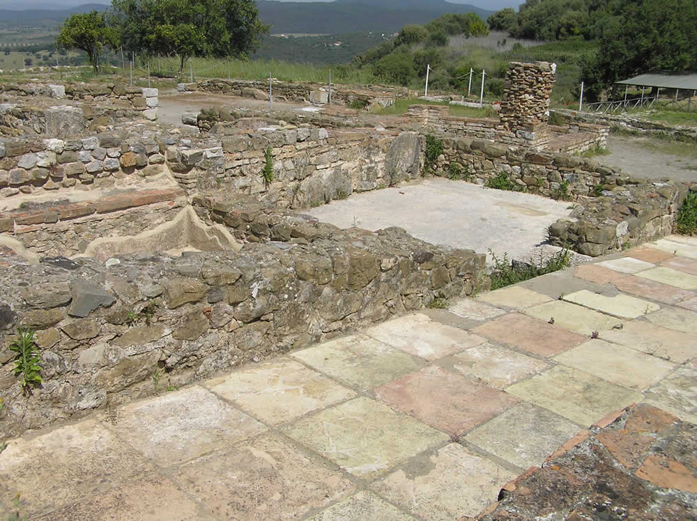
Next to this building was a small temple of Claudian age, a little further along the Cardo Maximus is the entrance of the Domus of Mosaics, a typical example of roman house of late republican age (80-60 B.C.). Going further, after a few hundred meters, we come to the southern hill where there is a residential quarters of the Hellenistic period, crossed by a dense network of channel. Here is also a monumental Roman cistern carved into the rock with vault to opus incertum and inside covered of hydraulic mortar.
Back in the Forum area, the public square of the Forum continued towards north along the hill until reaching other buildings of imperial age between which the “Basilica dei Bassi”, a building with an apse of the first century A.D., probably used like hall of representation of the powerful local family of the Bassi.
THERMAL AREA
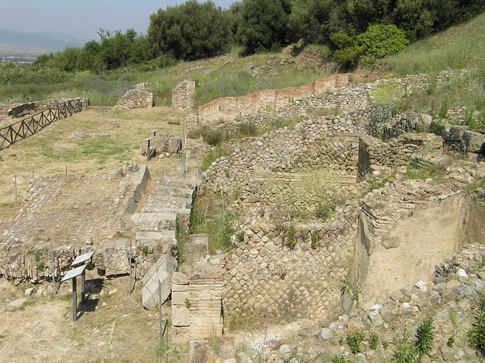
To the east of the Forum beyond the already described Civil Basilica. Following the paved Roman road we pass on the left a quarter of the imperial age and then the Thermal area. A complex of the imperial age built in the first decades of the second century A.D. on a previous inhabited quarter and that was formed, apart from local thermal proper (“natatio”, “frigidarium”, “tepidarium”, “laconicum”, “calidarium”) from a great hall of irregular shape that gave approaches to the boilers. Beginning from the end of the 5th century A.D. the baths was re-used as Christian church, with three-nave interior while the surrounding area, restructured in Carolingian age (between 8th and 9th century) was used as cemetary.
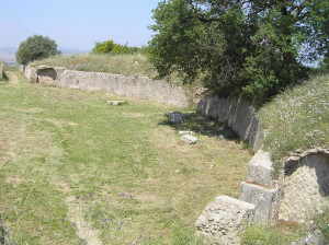
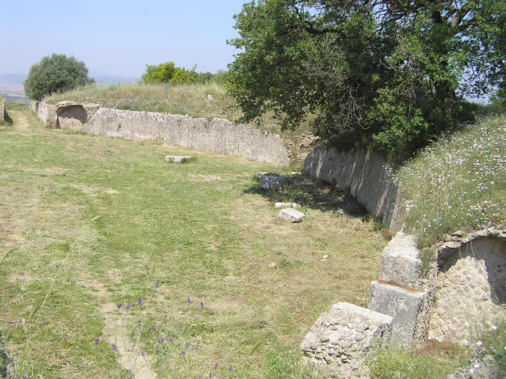
Returning back to the area of the Forum we continue along the north hill that is dominated by the Amphitheater of elliptical shape with four entrances (two exposed and two barrel-vaulted). The structure is small and dates back to the first century BC. In the Middle Ages it was reused as a fortified building. On the right of the amphitheater a path leads down to the beautiful and interesting walk of the Etruscan walls, probably the most interesting part of the visit. I recommend definitely to do it.
ETRUSCAN WALLS
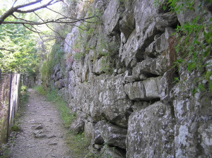
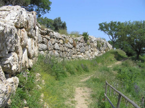
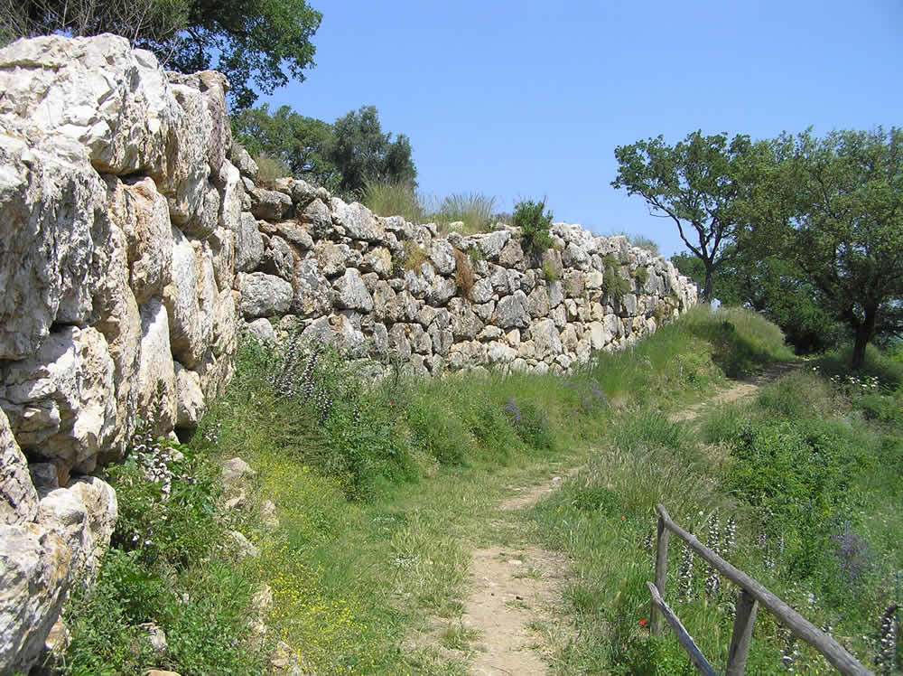
The massive Etruscan walls that runs for about 3 km along the slopes of the two hills that form the city dates back to the sixth century BC., of it are still conserved long stretches consist of large polygonal blocks. The work consisted of seven gates leading into the city, but only three have been identified, one of the gate opened near the present entrance. Of the Etruscan walls are preserved large tracts to the east, north and north-west, the maximum height in the north (that of the walk) is 5 meters. The part of the walls to the west and southwest is instead characterized by smaller blocks due to a renovation in the Hellenistic period (fourth century BC).
PRACTICAL INFORMATION:
Archaeological Area of Roselle is located 10 km north of Grosseto on the road to Siena. To reach it you must exit at Roselle exit and then follow the signs to the archaeological park.
The excavations are open to the public from 8:30 am until sunset every day. For information, tel. 0564/402403.
Ticket costs 4 Euro. In state museums and archaeological areas is allowed the free entry to European Union citizens who are not yet eighteen years of age or over the sixty-fifth years of age. The amount of the ticket, it’s reduced by half for EU citizens aged between eighteen and twenty-five years.
The objects found in the ruins of Roselle are exhibited in the Museum of Archeology and Art of the Maremma. P.zza Baccarini, 3 – 58100 – Grosseto (GR) Tel: 0564 488754 Fax: 0564 488753.
BIBLIOGRAPHY
- AA. VV. “Toscana” Guide Rosse Touring Club Italiano, 2007.
- Cur. Celuzza, Mariagrazia “Guida alla Maremma antica” NIE, 1993.
- Dennis George, cur. Celuzza M. G. “Grosseto, Roselle, Populonia, Vetulonia, Orbetello, Ansedonia” NIE, 1988.
- cur. Nicosia F.; Poggesi G. “Roselle. Guida al parco archeologico” 1998, NIE.
- Cygielman Mario, Poggesi Gabriella, “La cinta muraria di Roselle” 2009, NIE.
- cur. Marcella Parisi “Grosseto dentro e fuori porta. L’emozione e il pensiero” Associazione Archeologica Maremmana, Siena, C&P Adver Effigi, 2001.
Questo articolo è disponibile anche in:
![]() Français
Français ![]() Deutsch
Deutsch ![]() Español
Español ![]() Italiano
Italiano

